Click for full-size.
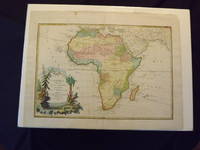
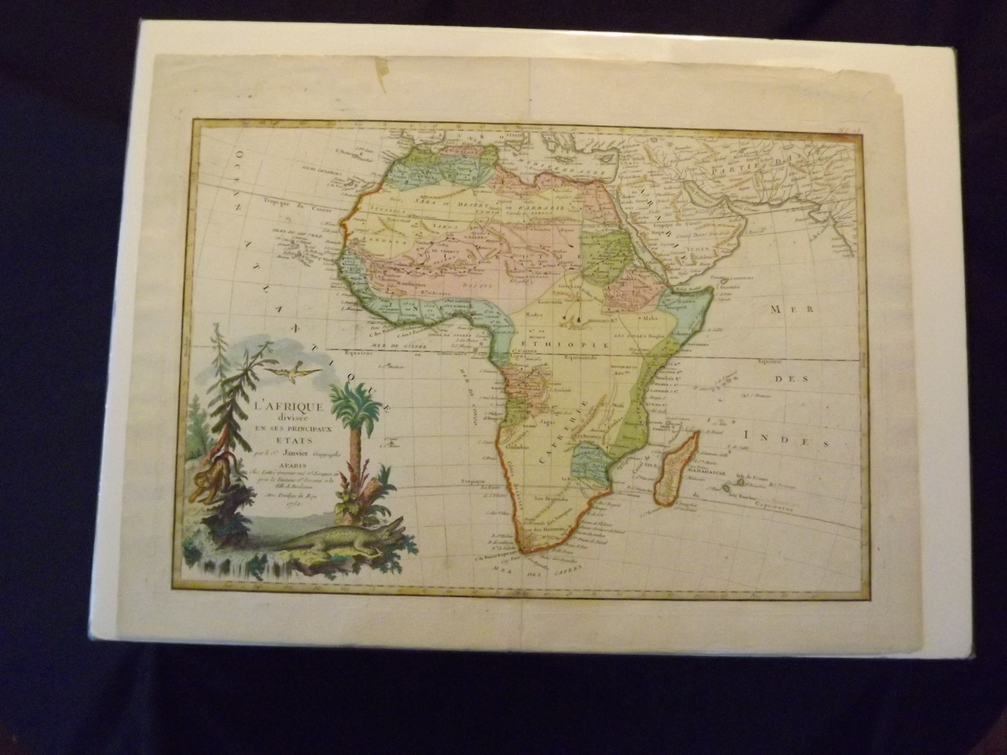
L' Afrique Divisee En Ses Principaux Etats
by Janvier, Sieur Jean
- Used
- Condition
- See description
- Seller
-
Florham Park, New Jersey, United States
Payment Methods Accepted
About This Item
Engraved, hand colored, decorative cartouche, ample margins, 43.7 x 30 cm (17 1/2" x 12"). Minor aging and slight browning; otherwise very good, bright and with a strong impression. Janivier was a French geographer that was active in the second half of the 18th century. According to Norwich and Tooley, Janivier produced a series of maps in 1760, and collaborated in an Atlas Moderne in 1762 and 1771.The present map is number 28 from that atlas. This rather handsome engraved map, which has full color, appears to present the cartographic knowledge of Africa in the mid 18th century. The map is fairly accurate, and shows the only settlements in southern Africa, and also features a few Hottentot tribes. The cartouche, which is in the lower left part of the map, shows a few tress, a leopard stalking, and a crocodile near the bottom. Norwich 104. Tooley p. 59.
Details
- Bookseller
- Nicholas D. Riccio Rare Books & Prints
 (US)
(US)
- Bookseller's Inventory #
- 101240
- Title
- L' Afrique Divisee En Ses Principaux Etats
- Author
- Janvier, Sieur Jean
- Book Condition
- Used
- Quantity Available
- 1
- Place of Publication
- [Paris]:
- Date Published
- 1762.
- Keywords
- Africa. African Maps.
Terms of Sale
Nicholas D. Riccio Rare Books & Prints
30 day return guarantee, with full refund including shipping costs for up to 30 days after delivery if an item arrives misdescribed or damaged.
About the Seller
Nicholas D. Riccio Rare Books & Prints
Biblio member since 2011
Florham Park, New Jersey
About Nicholas D. Riccio Rare Books & Prints
Established in 1999 we specialize in Americana, African Americana, Natural History, Travel & Exploration, Science & Medicine, and Maps & Atlases
Glossary
Some terminology that may be used in this description includes:

Is your family bible valuable?
While they may have sentimental value, bibles passed down through the family are not often worth a lot of money. Learn more...