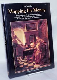
Description:
Amsterdam, Bataafsche Leeuw, 2002. Folio. Cloth, with dust-jacket. With numerous illustrations (several in colours). 328 pp.
Mapping for Money: Maps, Plans and Topographic Paintings and their Role in Dutch Overseas Expansion During the 16th and 17th Centuries by Zandvliet, Kees - 1998
by Zandvliet, Kees
Similar copies are shown below.
Similar copies are shown to the right.

Mapping for Money: Maps, Plans and Topographic Paintings and their Role in Dutch Overseas Expansion During the 16th and 17th Centuries
by Zandvliet, Kees
- Used
- Hardcover
- first
Amsterdam: Batavian Lion International, 1998. Hardcover. 328p., 9x12.5 inches, illustrated color dj, black boards, many color illustrations, in very good condition.
-
Bookseller
Bolerium Books Inc., ABAA/ILAB
(US)
- Format/Binding Hardcover
- Book Condition Used
- Quantity Available 1
- Binding Hardcover
- ISBN 10 906707456X
- ISBN 13 9789067074568
- Publisher Batavian Lion International
- Place of Publication Amsterdam
- Date Published 1998
We have 1 copies available starting at £71.89.

Mapping for money. Maps, plans and topographic paintings and their role in Dutch overseas expansion during the 16th and 17th centuries.
by ZANDVLIET, Kees
- Used
- Hardcover
- Condition
- Used
- Binding
- Hardcover
- Quantity Available
- 1
- Seller
-
Vianen, Netherlands
- Item Price
-
£71.89
Show Details
Item Price
£71.89