Click for full-size.
Asher & Adams' Michigan
by ASHER & ADAMS
- Used
- near fine
- Condition
- near fine
- Seller
-
New York, New York, United States
Payment Methods Accepted
About This Item
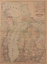
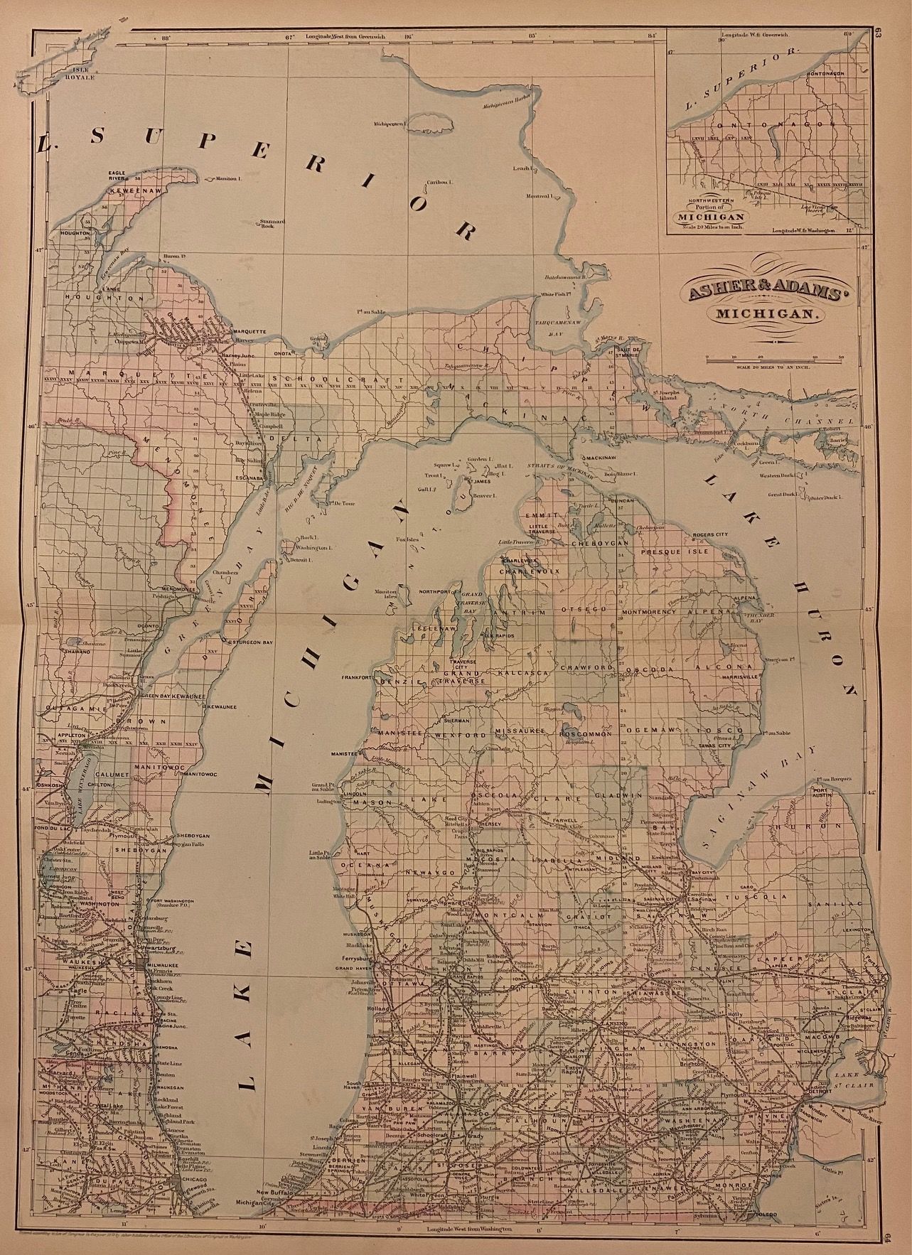
New York: Asher & Adams, 1872. unbound. near fine. Map. Engraving with original hand coloring. Image measures 23" x 15.75".<br/> <br/> Great double page map of Michigan divided into counties and townships. Shows cities, major routes, railroads and waterways. Centered on Lake Michigan, the map includes parts of Lake Superior and Lake Huron, extending from Isle Royale in the northwest to the St. Clair River in the southeast. Features an inset showing the northwestern portion of Michigan (Ontonagon). In excellent condition.<br> <br> Asher & Adams were publishers based in Washington and New York in the late 19th century who produced some of the most detailed and colorful atlases of the period.<br/> <br/>
Reviews
(Log in or Create an Account first!)
Details
- Bookseller
- Argosy Book Store
 (US)
(US)
- Bookseller's Inventory #
- 223692
- Title
- Asher & Adams' Michigan
- Author
- ASHER & ADAMS
- Format/Binding
- Unbound
- Book Condition
- Used - near fine
- Quantity Available
- 1
- Publisher
- Asher & Adams
- Place of Publication
- New York
- Date Published
- 1872
Terms of Sale
Argosy Book Store
All items are offered net, subject to prior sale. Returns accepted within 7 days of receipt--please contact us first. Payment by Visa , Mastercard & American Express. Appropriate sales tax will be added for all N.Y. State residents
About the Seller
Argosy Book Store
Biblio member since 2004
New York, New York
About Argosy Book Store
We are a large retail store, with 6 floors of out-of-print and rare books, (including, Americana, modern first editions, history of medicine and science), antique maps and prints, autograph manuscripts, letters & signatures.
Glossary
Some terminology that may be used in this description includes:
This Book’s Categories

Collecting History of the Circus in America
Step right up! Take a look at the center ring, where you will see displayed the most amazing, most colorful series of history books that the world has ever seen! Right this way, folks…

Positive Representation Matters
Books transmit cultural values and can shape the views of society. Learn more about the history of American literature in Collecting Children’s Literature by Writers and Educators of the Harlem Renaissance.